The Gateway Isn't One Project. It's Three, Running On Different Clocks.
August 20, 2026
August 20, 2026
Leave Hamilton Landing on any weekday morning and you'll cross the causeway before you've finished your coffee. That's the whole point of living where the neighborhood sits, close enough to the mainland that school runs and grocery trips don't eat the day. Lately, though, that same stretch of road has turned into something residents describe the same way: cones, flaggers, a detour sign that wasn't there last month, and a vague sense that "they're finally doing the roundabout."
Here's what most people driving through don't realize. There isn't one roundabout project happening at the gateway to St. Simons. There are two separate infrastructure efforts, planned years apart, moving at different speeds, plus a third fix on the water that has nothing to do with either one. If you live in Hamilton Landing and use this corridor daily, knowing which project is which changes how you plan around the next twelve months, not just the next twelve days.
The one most people mean when they say "the roundabout" is the Frederica Road and Sea Island Road project, sometimes called the Old Stables Corner roundabout for the historic parcel it touches. Glynn County approved the budget for this one back in June 2022, allocating $6 million to replace what county data identified as the intersection with the highest crash count on St. Simons Island. The need was first flagged in 2008. That's not a typo. This single intersection has been on somebody's infrastructure list for close to two decades, through a 2016 traffic study, a 2020 regional transportation plan, and a 2021 engineering review, before construction funding ever got approved.
Part of why it took so long sits in the land itself. Old Stables Corner is protected acreage that a group of residents raised roughly $2.5 million to preserve back in 2010, and the roundabout design requires about half an acre of it, plus pieces of eight other parcels nearby. County engineers say twelve trees on the property are slated for removal, though only two meet the size threshold to count as protected specimen trees under the county's canopy ordinance, and three of the twelve are already in decline. The project is currently in final design, working through utility coordination and the last of the property acquisitions, with a design horizon that's supposed to carry the intersection through 2041.
As District 2 Commissioner Bob Duncan put it at a 2025 public meeting on the project, the corridor carries the daily rhythm of the island's working population: people crossing over for school, for jobs, and back home again every afternoon. That's the traffic this specific roundabout is built to absorb, and it's a different fix, on a different timeline, from the one waiting a few hundred yards closer to the water.
The actual entrance to the island, where the causeway meets Kings Way, Sea Island Road, and Demere Road in that old one-way rotary, is a separate undertaking entirely. County planning documents describe it as the St. Simons Island Gateway Improvement Project, and its scope is larger: converting the rotary into distinct two-way intersections, with the primary junction at Sea Island and Demere rebuilt as a multi-lane roundabout designed to accommodate a possible future flyover.
This one is still earlier in its process. Archaeological crews were out in May 2026 doing hand excavation and test pits along Demere Road, Kings Way, and Sea Island Road, part of the environmental review required before construction can move forward. The same planning documents show the county is also studying four intersections further down Demere Road, including the one at Murray Lane by Frederica Academy, to figure out how traffic redistributes once the main gateway changes shape. So if you've noticed survey crews or unfamiliar equipment near those intersections this year, that's what's underway, a scoping and permitting phase, not construction.
Two projects, same general few hundred yards of pavement, running on genuinely different clocks. The Frederica and Sea Island roundabout is finishing. The full gateway rebuild is still being designed.
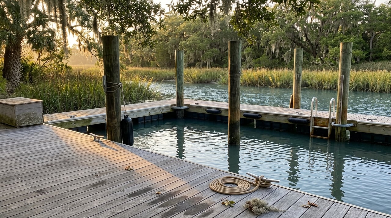
Meanwhile, the public boat ramp on the Mackay River, right off the causeway, is getting its own quiet fix that has nothing to do with either roundabout. The Georgia Department of Natural Resources, which manages that ramp, secured a permit to replace the floating dock there, cutting the old structure off its pilings and floating the new one into place. Unlike the road projects, this one moves fast: the work itself is expected to take no more than two days, with the site closed only while it's underway.
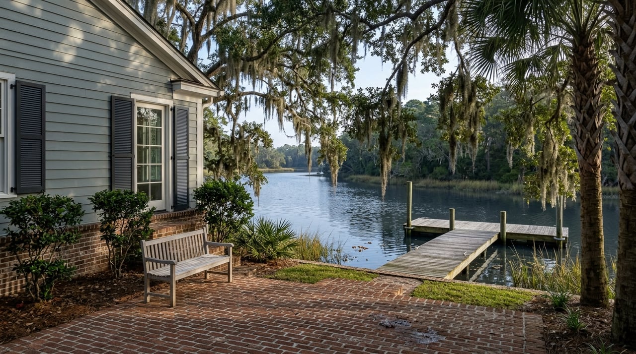
Worth being precise here, because it's an easy detail to blur. That public ramp on the Mackay is not the same as the resident-only boat landing inside Hamilton Landing. The neighborhood's private landing, tucked inside the gate, is a separate amenity entirely, and it isn't part of this DNR work. The Mackay ramp sits along the same waterway, visible from the causeway, and it's the one boaters have complained about for years because of the strong currents right at that launch point. If you've paddled or fished near there and noticed the dock looking different lately, that's the reason.
To keep the three straight:
None of this pressure on the gateway is new, even if the current mix of projects feels unusually busy. The causeway itself opened on July 11, 1924, after F.J. Torras, a Georgia Tech-trained engineer, spent thirteen months building a 4.2 mile road across marsh and five tidal rivers, including the Mackay, that most people at the time considered impossible to cross. Roughly 5,500 cars made the trip on opening day, and the road was rebuilt once already, from 1949 to 1950, when the original swing bridges couldn't keep up with growth. It was widened from two lanes to four in the 1980s. The toll booth that once stood halfway across came down for good in 2006.
The island marked the causeway's hundredth year in 2024 with a public program at the A.W. Jones Heritage Center and a community celebration that summer, a reminder that this stretch of road has been absorbing the island's growth for a full century now, long before roundabouts were the answer anyone reached for. The current cluster of projects isn't a sign that something's gone wrong at the gateway. It's what a hundred-year-old bottleneck looks like when three different fixes finally land in the same calendar year.
For Hamilton Landing residents, the practical takeaway is simple enough. The Frederica and Sea Island work is the one to watch for completion soonest. The bigger gateway rebuild is a multi-year story that's only getting started. And if the Mackay ramp looks closed for a day or two, that's the smallest and fastest fix of the three, not a preview of anything larger.
If you're weighing what life actually looks like inside a gated, causeway-adjacent community like Hamilton Landing, from its private park and boat landing to its Sea Island Club eligibility, the Angela Harrison Team | Frederica Realty team spends its days on these streets and can walk you through it directly. Explore Frederica homes and homesites, let's find your place on the Golden Isles.
We invite you to explore the St. Simons and Sea Island Communities. Here, this island destination creates a lifestyle, where every luxury is designed to incorporate the area's breathtakingly beautiful natural surroundings and emerge organically from the natural landscape.